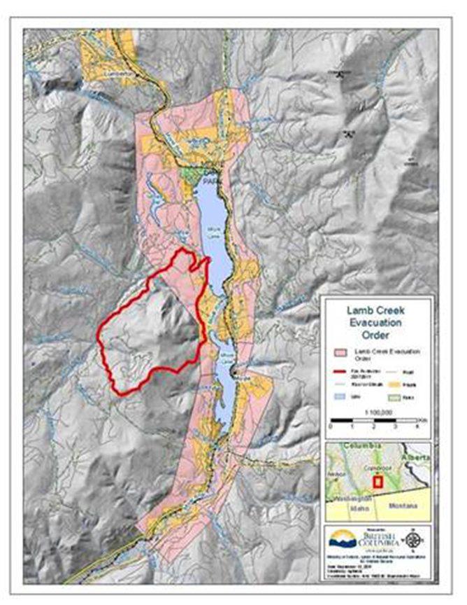
A fast-moving wildfire, known as the Steele Fire, is rapidly advancing through the areas surrounding Rancho San Diego and Jamul, prompting urgent evacuation orders for residents in its path. Authorities are closely monitoring the situation as flames threaten homes and critical infrastructure, intensifying concerns over public safety and property loss. This article provides the latest updates, including the Steele Fire evacuation map, road closures, and official guidance from emergency responders in the affected communities.
Steele Fire Advances Rapidly Creating Urgent Evacuation Orders for Residents
The rapidly advancing Steele Fire has prompted urgent evacuation orders for thousands of residents in the Rancho San Diego and Jamul areas. Authorities have reported that the wildfire, fueled by dry conditions and strong winds, has quickly expanded, threatening homes, businesses, and critical infrastructure. Emergency services are working around the clock to contain the blaze, issuing immediate evacuation notices to neighborhoods within the fire’s projected path.
Evacuation Details:
- Residents in high-risk zones are advised to leave without delay.
- Evacuation centers have been established at local schools and community halls.
- Road closures and detours are actively managed to facilitate a smooth evacuation process.
| Area | Evacuation Status | Recommended Action |
|---|---|---|
| Rancho San Diego East | Mandatory | Leave immediately |
| Jamul Valley | Advisory | Prepare to evacuate |
| San Vicente Hills | Mandatory | Evacuate now |
Critical Areas Under Threat Focus on Rancho San Diego and Jamul Communities
Authorities have identified specific zones within the Rancho San Diego and Jamul communities that face immediate wildfire risks as the Steele Fire advances. Emergency services have emphasized the urgency for residents in low-lying valleys, dense chaparral regions, and areas near critical infrastructure to remain vigilant. These sectors, characterized by heavy brush and limited access routes, complicate firefighting efforts and increase the urgency for rapid evacuation. Local fire chiefs report that high winds combined with dry conditions continue to fuel the fire’s unpredictable spread, making these neighborhoods particularly vulnerable.
The evacuation status is continuously updated based on fire behavior, prompting officials to categorize the affected areas into priority levels. Below is a breakdown of key zones under threat with their current risk assessment:
| Community Area | Risk Level | Evacuation Status |
|---|---|---|
| Rancho San Diego ‚Äď Oak Grove | High | Mandatory Evacuation |
| Jamul ‚Äď Upper Ridge | Moderate | Evacuation Warning |
| Rancho San Diego ‚Äď Meadow Hills | High | Mandatory Evacuation |
| Jamul ‚Äď Lower Canyon | Severe | Immediate Evacuation |
Residents are urged to prepare essential belongings and review evacuation routes ahead of potential orders. Emergency bulletins are being disseminated through multiple channels to ensure public safety, with updates focused on wildfire containment progress and shifts in wind patterns that may impact fire direction. Community leaders have also mobilized local shelters and volunteer support to assist those displaced by the rapidly evolving situation.
Emergency Response Teams Mobilize Resources to Protect Homes and Infrastructures
As flames rapidly advanced near residential areas in Rancho San Diego and Jamul, multiple emergency response teams coordinated their efforts to safeguard vulnerable communities and critical infrastructure. Firefighters, law enforcement, and emergency management personnel worked around the clock to establish containment lines, deploy water and retardant drops, and organize evacuation efforts. Using aerial reconnaissance and real-time data, crews prioritized protection of key access routes, power substations, and water supply facilities to prevent further disruption.
Resource Mobilization Highlights:
- Over 200 firefighters deployed with specialized wildfire containment equipment
- 15 aerial support units activated for continuous monitoring and retardant applications
- Evacuation centers established within affected and neighboring communities
- Collaboration with utility companies to proactively reduce risk of infrastructure damage
| Emergency Asset | Status | Deployment Area |
|---|---|---|
| Fire Engines | Fully Deployed | Perimeter & Evacuation Zones |
| Helicopters | Active | Overhead Surveillance |
| Medical Units | Standby | Local Relief Centers |
Residents Urged to Follow Evacuation Routes and Safety Protocols Immediately
Authorities emphasize the critical importance of adhering strictly to designated evacuation routes to ensure resident safety amidst the rapidly advancing wildfire. Officials warn that attempting shortcuts or deviating from marked paths could result in entrapment or delays in reaching safety zones. Emergency responders are actively monitoring and guiding evacuation efforts, urging residents to stay informed through official channels and avoid returning to affected areas until given clearance. Following these protocols is vital to safeguarding lives and facilitating efficient emergency operations.
To assist residents, the emergency management team has provided a clear evacuation guide highlighting primary and secondary routes, along with key safety tips to follow during evacuation:
- Pack essential items: medications, identification, water, and important documents.
- Keep vehicles fueled and ready for immediate departure.
- Communicate with neighbors to ensure vulnerable individuals receive assistance.
- Avoid smoke-filled areas to prevent respiratory distress.
- Stay updated via official social media accounts and emergency broadcasts.
| Evacuation Zones | Primary Route | Secondary Route | Safety Checkpoint |
|---|---|---|---|
| Rancho San Diego North | Highway 94 North | Mango Drive East | Ranchita Park |
| Jamul Central | Jamul Road West | Proctor Valley Road | Jamul Elementary School |
| Rancho San Diego South | Sweetwater Road East | Steele Canyon Road | Community Center |
In Conclusion
As wildfire conditions continue to evolve rapidly near Rancho San Diego and Jamul, the Steele Fire evacuation map remains a critical resource for residents seeking safety. Authorities urge those in affected areas to stay informed through official channels and adhere to evacuation orders promptly. Ongoing efforts by firefighting teams aim to contain the blaze and protect homes, but vigilance and preparedness remain essential as the situation develops. Stay with Times Now for the latest updates on this fast-moving wildfire threat.


